What’s in a name? Quite a lot, as it turns out.
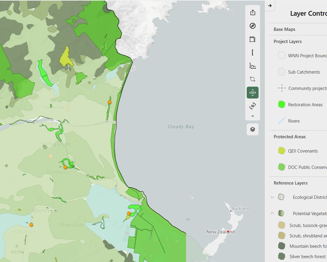
We knew our new “mapping app” didn’t adequately describe the kaupapa or the significance of this new tool. It’s not just about displaying sites on a map – it’s about strengthening restoration across the Wairau catchment and supporting long-term ecological connection. After much brainstorming, we settled on Wairau EcoMap.
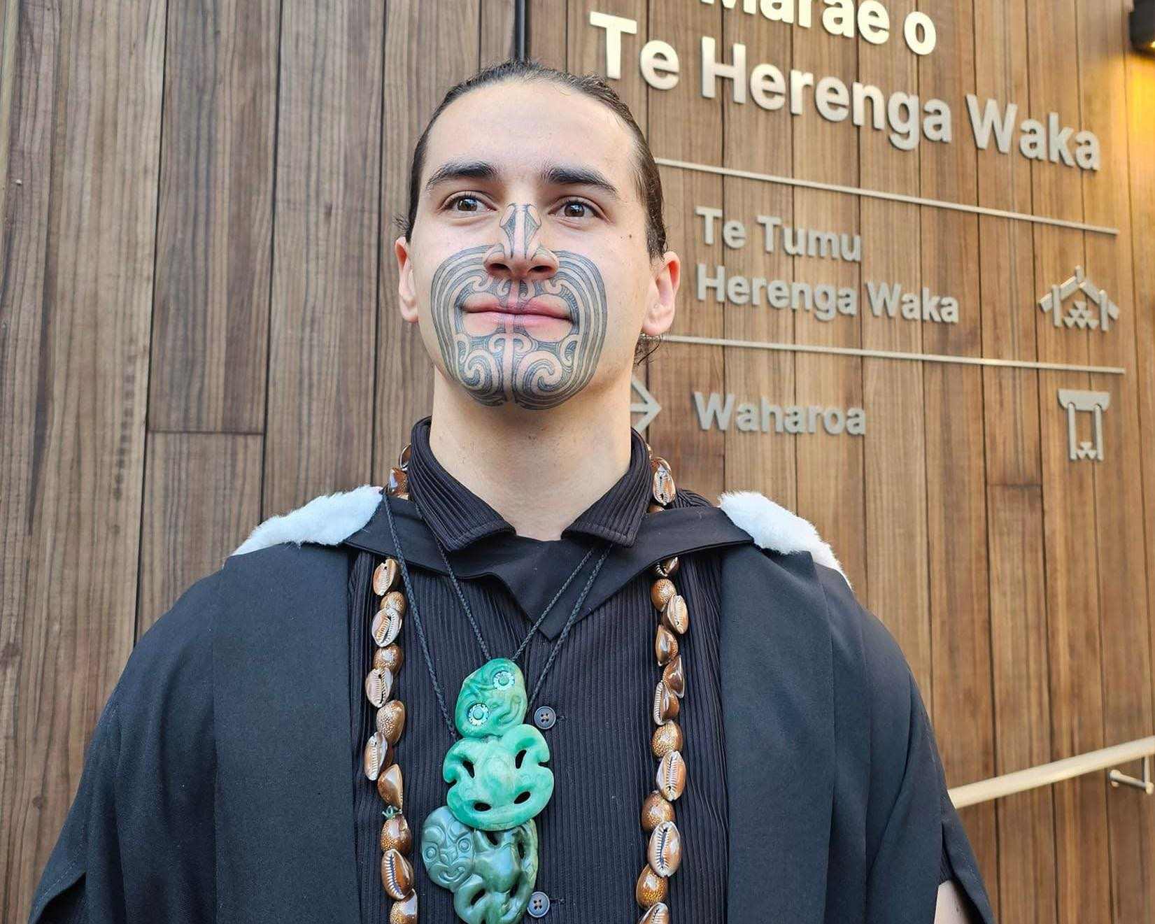
Wanting a name in te reo Māori that carried the depth, care and intent behind the work, we approached Te Matahiapo Safari Hynds, of Rangitāne o Wairau. He loved the mahi we were undertaking and generously offered to gift a name. After spending time with our mapping tool and website, he proposed two complementary names:
Tāmata — meaning to revitalise — is the Wairau Information Hub. It provides a shared platform for knowledge, practical guidance, tools, and restoration stories to support informed action- wairaunaturenetwork.org.nz
Haumi — meaning to work together in collaboration — is the Wairau EcoMap: an interactive mapping platform designed to visualise restoration activity, identify opportunities for ecological corridors, and support coordination across properties and projects – wairaunaturenetwork.maphq.co.nz
Together, Wairau Information Hub | Tāmata and Wairau EcoMap | Haumi reflect both purpose and practice – integrating information and collaboration to strengthen ecological and social connectivity across the Wairau catchment. Ka pai Te Matahiapo!